Project Summary
Countries: Guatemala
Delivery Partner: University of Greenwich
Project Partners: Tropical Agricultural Research and Higher Education Centre (CATIE), Centre for Biodiversity and Environmental Research (CEAB), University of Valle Guatemala (UVG), Federation of Cooperatives of Verapaz (FEDECOVERA) Chorti Regional Campesinos Association
Principal Investigator: Professor Jeremy Haggar, Professor of Agroecology, Natural Resources Institute, University of Greenwich
Contact: j.p.haggar@gre.ac.uk
The project aims to integrate scientific knowledge with Indigenous and local traditional knowledge in the design and evaluation of Nature-based Solutions (NbS), strengthening climate resilience and equitable well-being in rural communities across two regions of Guatemala
Challenge
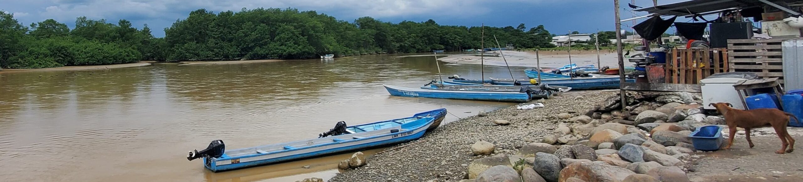
Local and Indigenous Peoples in two regions of Guatemala, Alta Verapaz and Chiquimula, experience increasing impacts of climate change. In Alta Verapaz a wet region, unusual dry periods have led to over 60% loss of their main cash crop – cardamon through forest fires and water shortages. This is then followed by intense rains that cause landslides cutting off roads and even causing loss of life.
In Chiquimula a drier region, crop losses which traditionally occur only in the drought conditions of El Nino, now occur more frequently as rains fail mid-cropping season. The project will bring together traditional knowledge and scientific assessment of agroforestry systems to identify options to address these issues and increase climate resilience.
Insights
Increasing the presence of trees in agricultural systems has the potential to increase the climate and environmental resilience of the landscape. Agroforestry practices are spreading in both regions as farmers find crops with trees are more resilient to extreme climate events. Scientific evidence will be collected of the ecosystem services from agroforestry and forest remnants and model how they contribute to climate mitigation, hydrology and services to cropping systems.
Traditional and scientific knowledge will be brought together to support local planning of climate resilience, between local and indigenous communities and local government and civil society stakeholders. Lessons from these processes will be shared with government stakeholders at regional and national level to inform policies and planning processes that support local and indigenous communities.
Collaboration
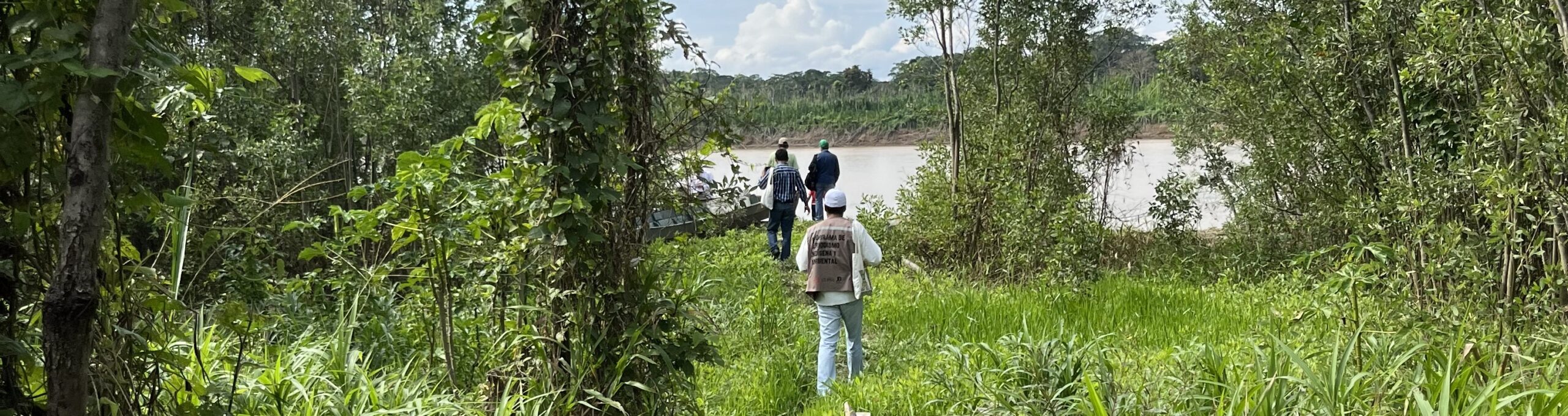
Co-implementation with associations from local and indigenous communities is essential for an equitable research and development process which we achieve though the participation of FEDECOVERA a federation of indigenous Q’eqchi’ cooperatives and ASORECH a Chorti campesino association. They lead the application of the research with the local cooperatives and communities who they represent, and most importantly conduct the research using the local languages to enable full community participation.
They are supported by international researchers from University of Greenwich and CATIE (a Latin American research institution) and national researchers from the University of Valle in Guatemala both of which provide specialists in natural and social sciences. National government (especially Ministry of Environment) and civil society stakeholders participate in follow-up in the application of the knowledge documented to local policy and planning processes. This combination of disciplines, institutions, nationalities, and above all full participation of professionals from the local and indigenous communities ensure the trans-disciplinarity of the research undertaken.
In Alta Verapaz and Chiquimula we have the privilege to work with indigenous Q’eqchi’ and local communities in the Chorti region to support them in identifying how Nature-based Solutions may help them in the face of climate change and how support from local and national institutions may better support their aims.
Discover More
Professor Jeremy Haggar
Professor Jeremy Haggar leads the Ecosystem Services Research Group at the Natural Resources Institute, University of Greenwich. He has over 30 years’ experience conducting research and supporting development in Central America on sustainable agriculture and land-use.
Jeremy has led previous projects to support farmers and their organisations to implement and manage agroforestry production systems, and assessing the economic, social and environmental performance of those systems.
Photo Credits:
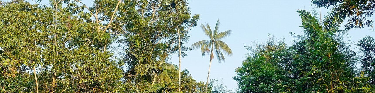
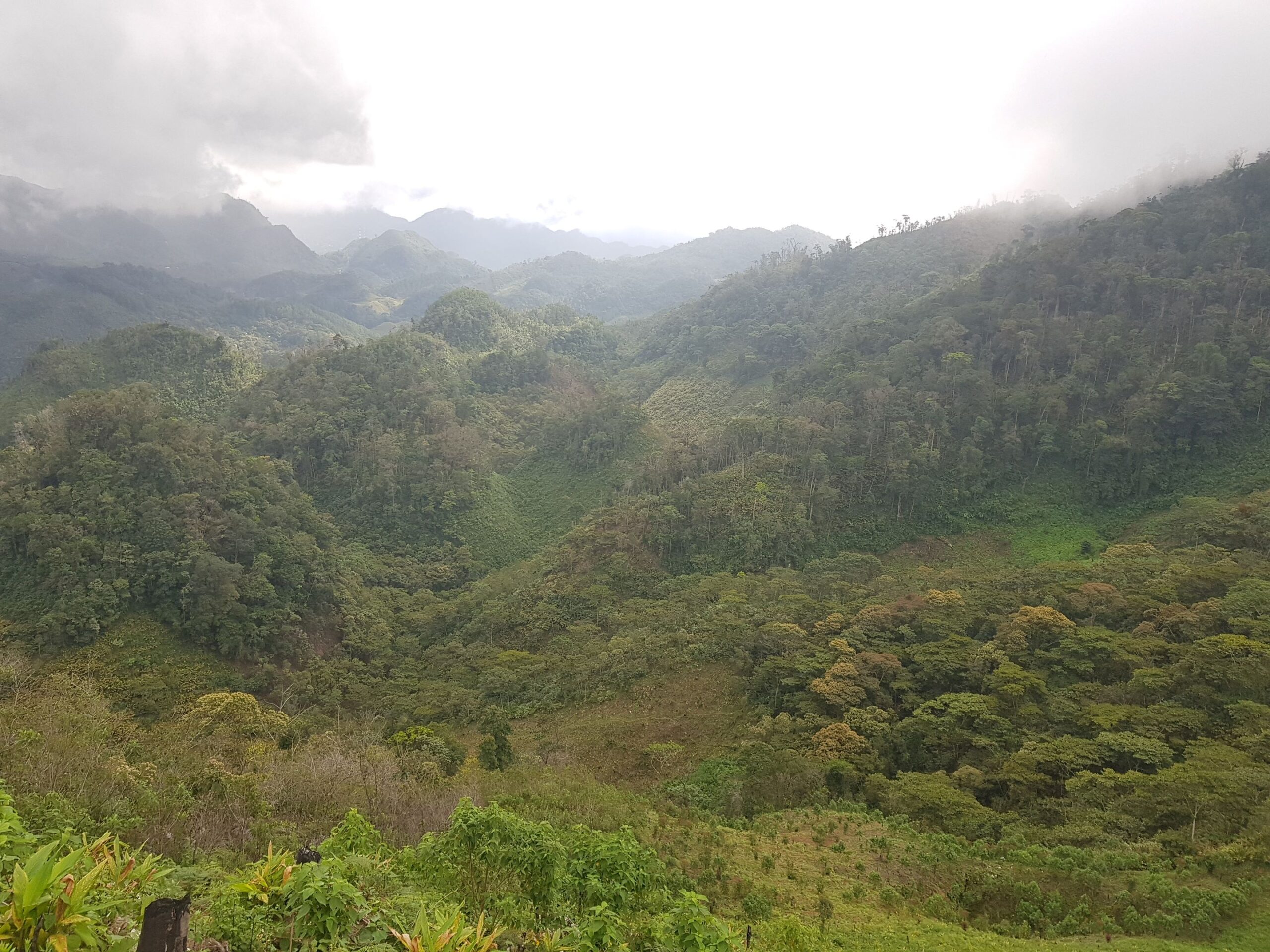
Photo 1: Verapaz Landscape: Alta Verapaz landscape a mosaic of agriculture, agroforestry and forest patches
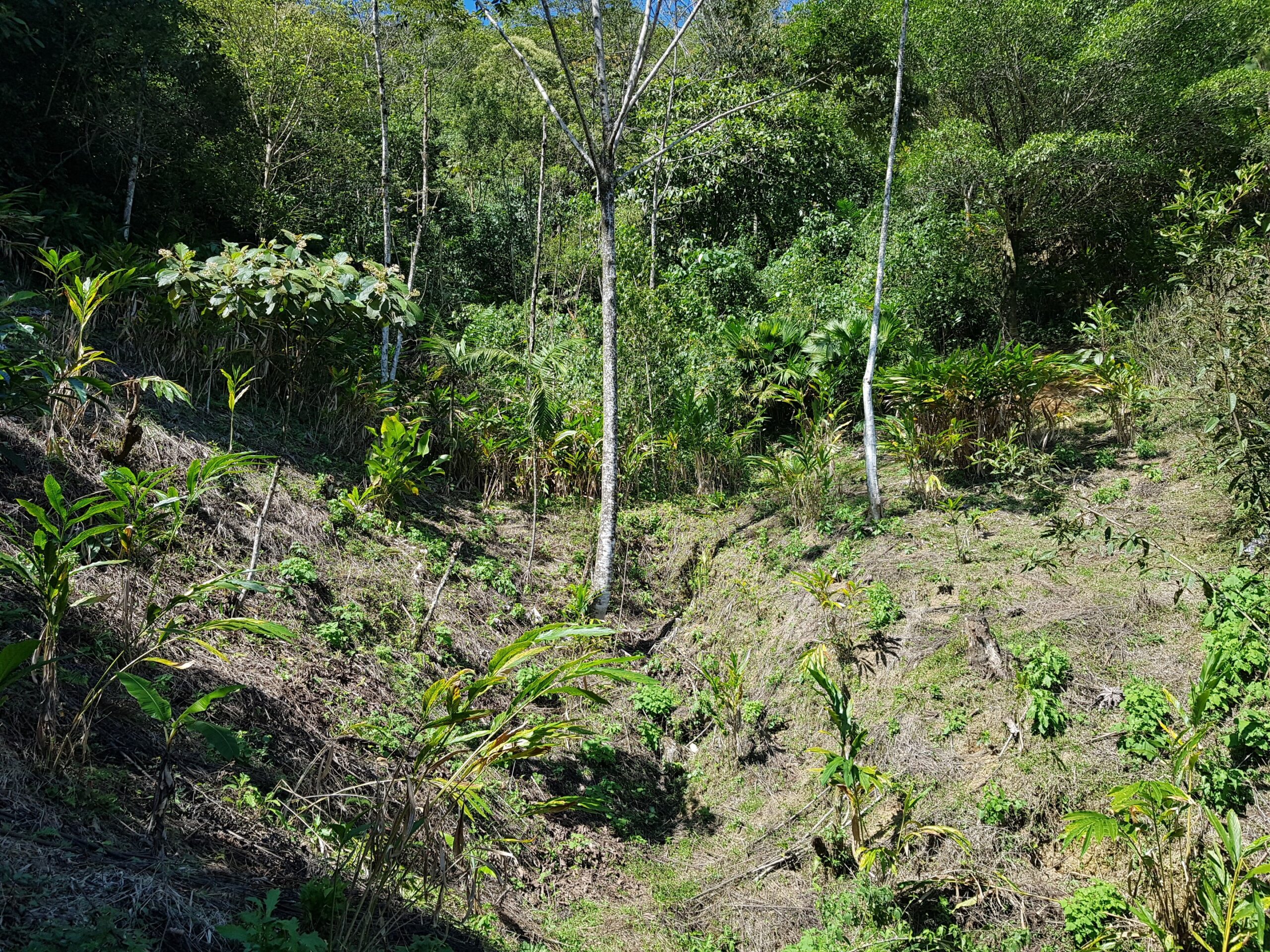
Photo 2: Cardamon CC: Cardamon crop die-back due to drought
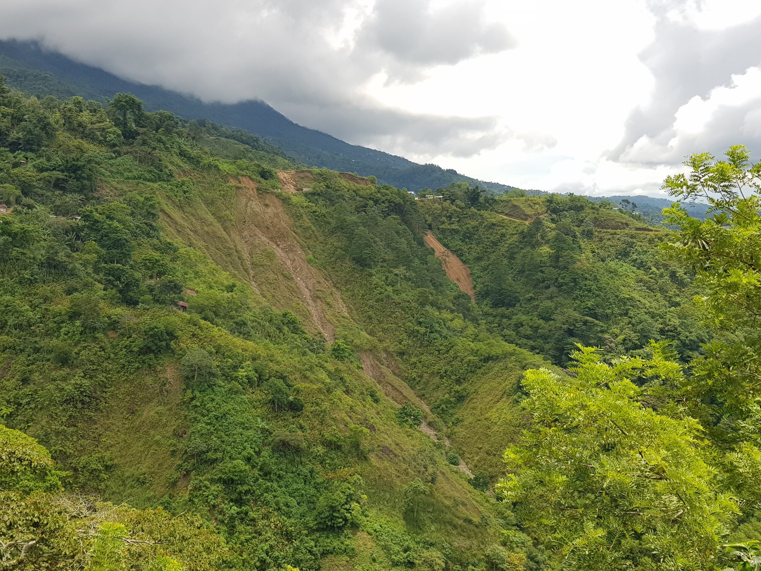
Photo 3: Landslide: Landslides caused by excessive rainfall
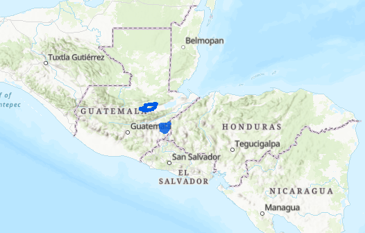
Map 4: Project sites: Location of project sites in Guatemala, Alta Verapaz to the north and Chiquimula to the south.
Photos taken by Jeremy Haggar